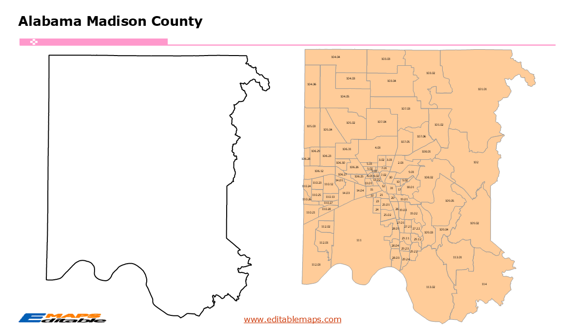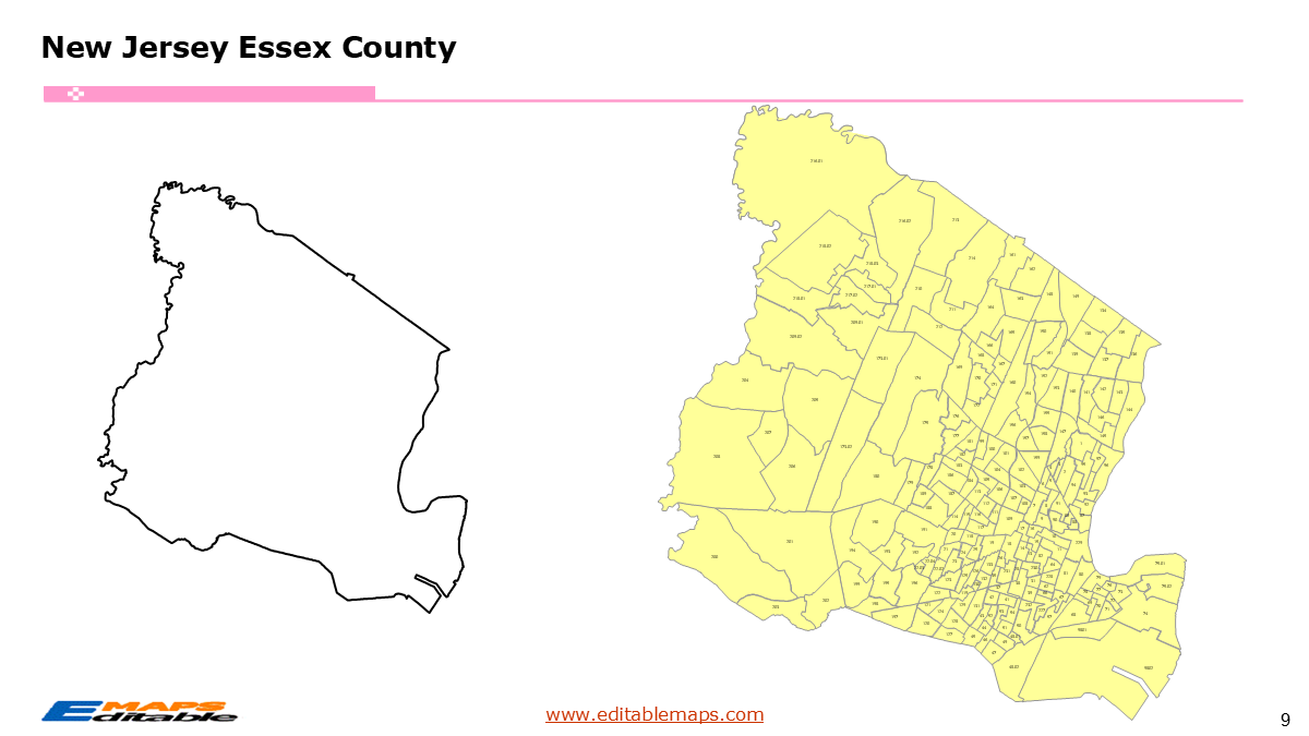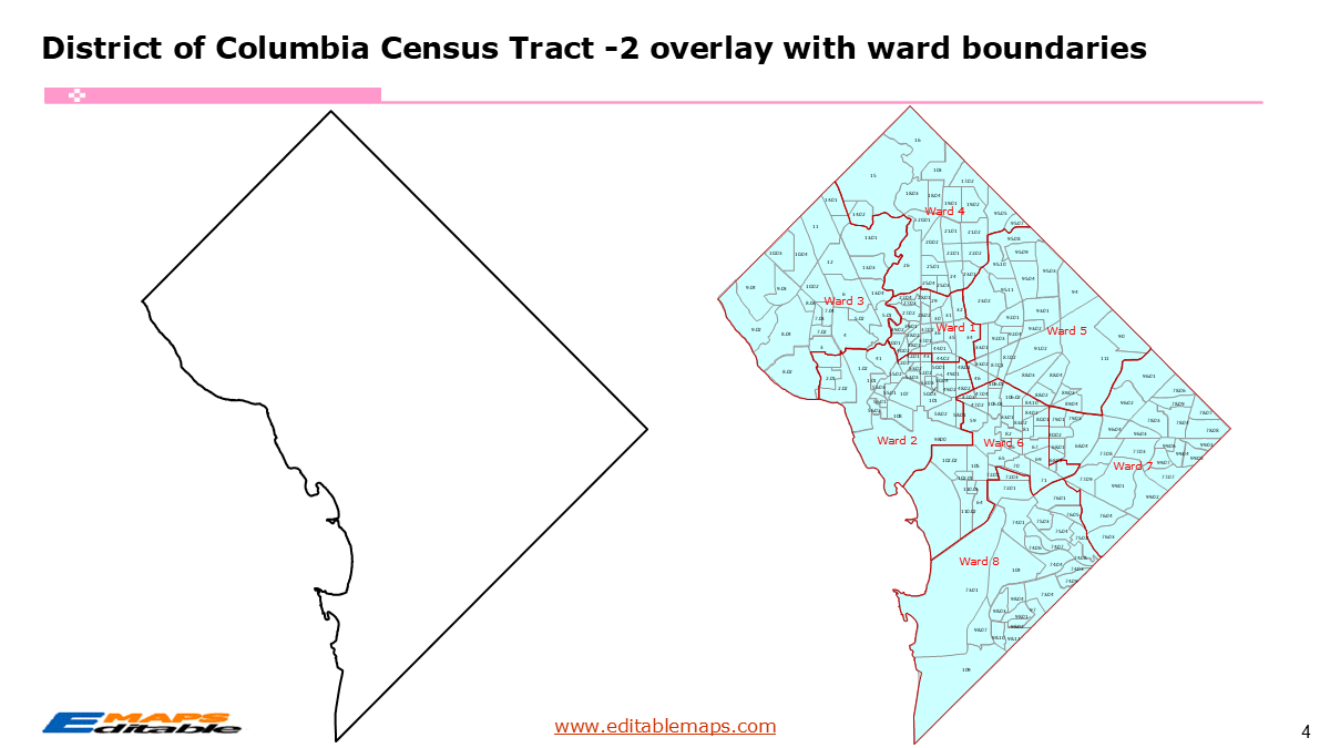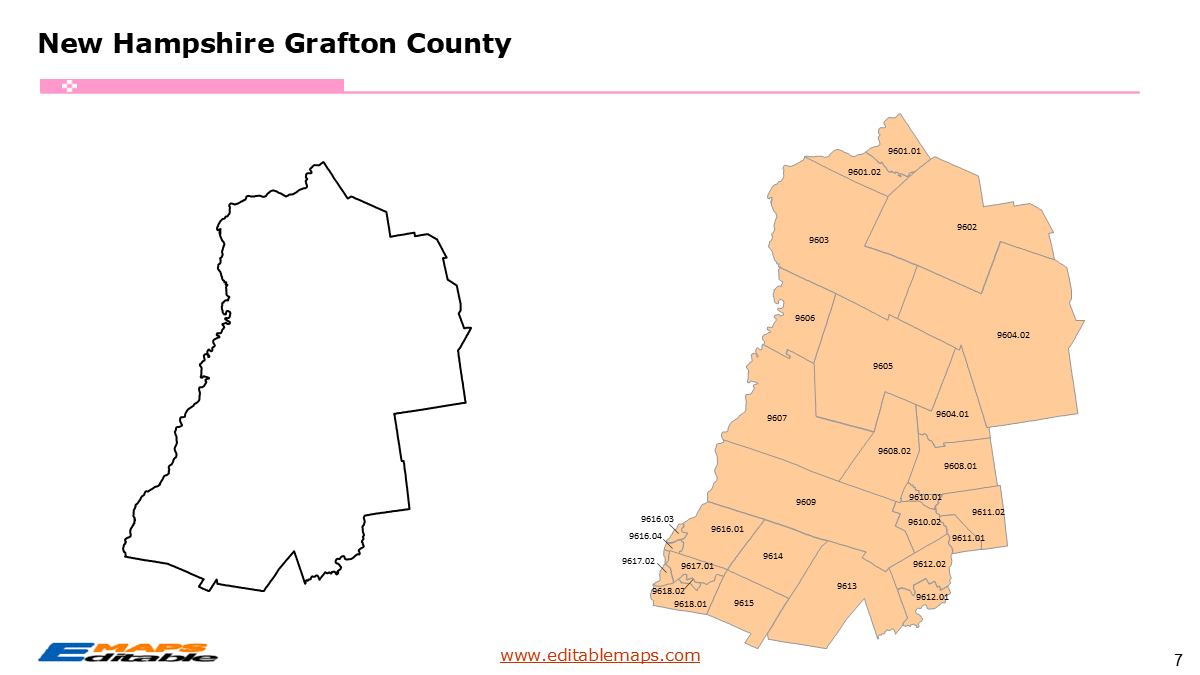
Pennsylvania Census Tract Map by county
$ 97.20
In Stock - Shipping time: In Stock 2 weeks (aprox.)
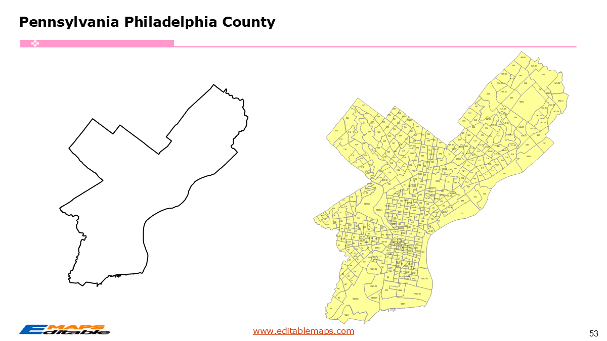
The Pennsylvania census tract map by county templates in PowerPoint format includes 69 slides. Firstly, it is a blank US State map template. Secondly the Pennsylvania map with 67 counties. Thirdly regarding the 3445 census tracts, the Pennsylvania census tract map by county product has grouped them by 67 counties, as PowerPoint templates are labeled with Census Tracts’ codes. The layers are grouped into two categories, one by Census Tracts shapes and the other by Census Tracts’ names, which makes it easier to customize your slides.The U.S. state of Pennsylvania is divided into 67 counties, then further divided into 5393 county Census Tracts. It is based on the latest 2023 Census Bureau TIGER/Line data.The 69 slides are listed below.US state map and Pennsylvania Map of outline (1)Pennsylvania Map with 67 Counties (1)Pennsylvania census tract map by county, Each County with its Census Tracts and codes labeled (67)Pennsylvania census tract map by CountyThe 67 counties and the number of their Census Tracts are as follows. Adams County (27), Allegheny County (394), Armstrong County (19), Beaver County (53), Bedford County (12), Berks County (107), Blair County (38), Bradford County (15), Bucks County (147), Butler County (47), Cambria County (42), Cameron County (2), Carbon County (17), Centre County (41), Chester County (124), Clarion County (13), Clearfield County (20), Clinton County (10), Columbia County (16), Crawford County (23), Cumberland County (55), Dauphin County (67), Delaware County (152), Elk County (9), Erie County (73), Fayette County (36), Forest County (2), Franklin County (33), Fulton County (3), Greene County (10), Huntingdon County (13), Indiana County (24), Jefferson County (13), Juniata County (6), Lackawanna County (60), Lancaster County (116), Lawrence County (28), Lebanon County (33), Lehigh County (81), Luzerne County (101), Lycoming County (32), McKean County (12), Mercer County (35), Mifflin County (13), Monroe County (51), Montgomery County (219), Montour County (4), Northampton County (74), Northumberland County (25), Perry County (10), Philadelphia County (408), Pike County (25), Potter County (7), Schuylkill County (42), Snyder County (8), Somerset County (24), Sullivan County (4), Susquehanna County (12), Tioga County (10), Union County (11), Venango County (17), Warren County (13), Washington County (62), Wayne County (17), Westmoreland County (113), Wyoming County (7), and York County (108).Pennsylvania is a cornerstone of the Mid-Atlantic and Appalachian regions of the Northeastern US. It is bordered by New York to the north, New Jersey to the east, Delaware and Maryland to the south, West Virginia to the southwest, and Ohio to the west. It also features a short coastline on Lake Erie to the northwest. Known for its rich industrial history and diverse geography, the state ranges from the coastal plain of Philadelphia to the Appalachian Mountains and the steel hubs of Pittsburgh. Harrisburg is the state capital.This bundle is a massive, comprehensive toolkit designed for the 5th most populous state in the nation. It bridges the gap between the urban density of the “Two Cities” (Philly and Pittsburgh) and the expansive rural regions in betweenPennsylvania census tract map introductionAbout this Product: Pennsylvania Census Tract Map Bundle (The Keystone State Edition)Unlock hyper-local insights across the Commonwealth with the Pennsylvania Census Tract Map Bundle. This PowerPoint-optimized collection features all 3445 census tracts updated for the 2023 Census, providing unprecedented detail across all 67 counties.Why this bundle is essential:3445 Fully Editable Vector Shapes: Every tract is an independent, high-resolution object. Re-color individual tracts, group them by municipality, or isolate specific neighborhoods with no GIS software required.The “Two-City” Detail: Includes specialized high-density slides for Philadelphia (Philadelphia County) and Pittsburgh (Allegheny County), where tract density is highest.Statewide Coverage: From the Lehigh Valley to the Pocono Mountains and the Dutch Country, every region is organized by county for easy navigation.2020 Boundary Precision: Reflects the significant increase in tracts, ensuring your data aligns with the most current federal standards.The 3445 Pennsylvania Census TractsThe 3445 census tracts in Pennsylvania represent a significant growth in geographic resolution compared to the 2,218 used in the 2010 Census. This addition new tracts highlights the rapid suburbanization in the Southeast and the revitalization of urban corridors.Southeast PA (Philadelphia & Suburbs): This region contains the state’s most densely packed tracts. Philadelphia County alone is a complex web of tracts vital for health and social equity reporting.Western PA (Allegheny County): The Pittsburgh metro area features a diverse array of tracts reflecting its varied topography and neighborhood identities.The Rural Interior: Central and Northern Pennsylvania feature larger geographic tracts. These are essential for mapping rural healthcare access, broadband expansion, and the impact of the energy industry (Marcellus Shale)You can check other state census tract maps as followed.ConnecticutDelawareDistrict of ColumbiaMarylandMassachusettsNew HampshireNew JerseyNew YorkRhode IslandVermontIf you want to get free US maps, please visit our affiliate’s website yourfreetemplates.com