Connecticut census tract map by county
$ 76.50
In Stock - Shipping time: In Stock 2 weeks (aprox.)
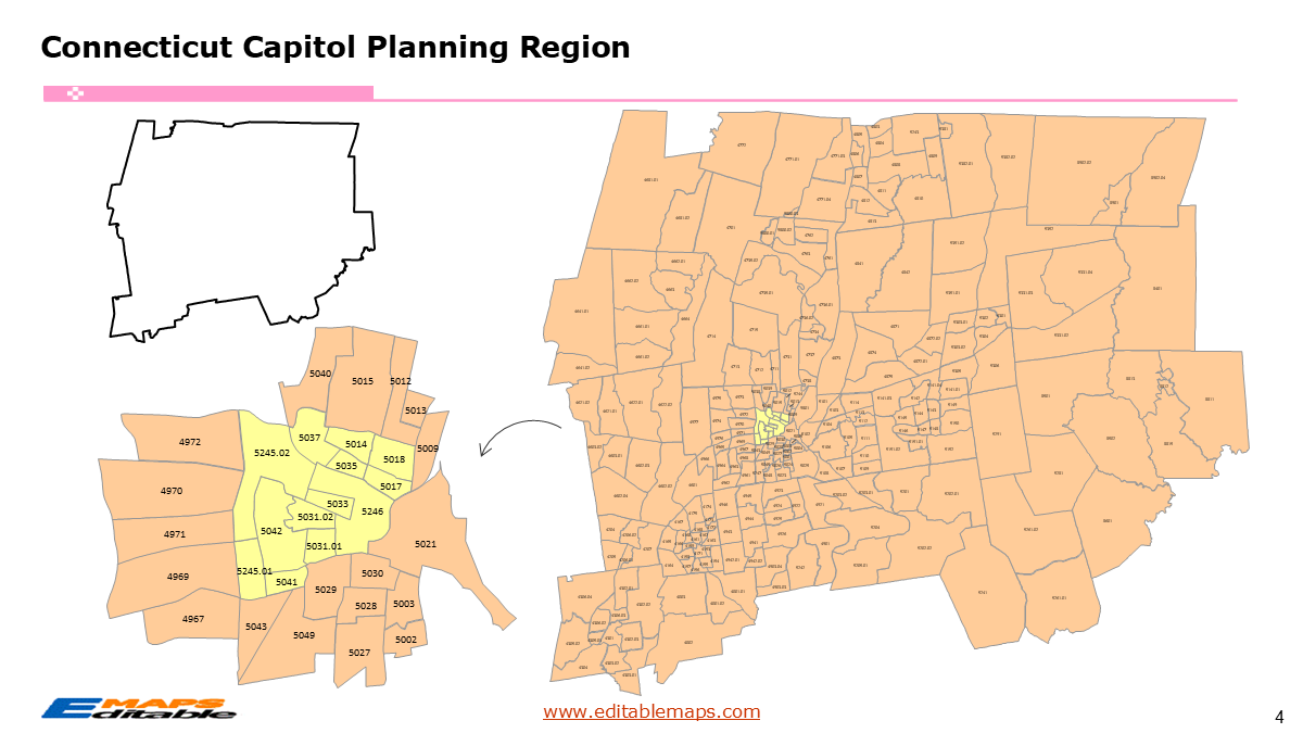
The Connecticut census tract map by county templates in PowerPoint format includes 12 slides. Firstly, it is a blank US State map template. Secondly the Connecticut map with 8 counties and the new 9 planning regions. Thirdly regarding the 879 census tracts, the Connecticut census tract map by county product has grouped them by 9 planning regions, as PowerPoint templates are labeled with Census Tracts’ names. The layers are grouped into two categories, one by Census Tracts polygons and the other by Census Tracts’ names, which makes it easier to customize your slides.The U.S. state of Connecticut is divided into 9 planning regions, then further divided into 879 Census Tracts. It is based on US Census Bureau’s 2020 shape data.The 12 slides are listed below.US state map and Connecticut Map of outline (1)Connecticut Map with 8 Counties (1)Connecticut Map with 9 planning regions (1)Connecticut census tract map by planning region, Each planning region with its Census Tracts and names labeled (9)The 9 planning regions and the number of their Census Tracts are as follows. Capitol Planning Region (249), Greater Bridgeport Planning Region (78), Lower Connecticut River Valley Planning Region (44), Naugatuck Valley Planning Region (98), Northeastern Connecticut Planning Region (26), Northwest Hills Planning Region (37), South Central Connecticut Planning Region (135), Southeastern Connecticut Planning Region (67), and Western Connecticut Planning Region (145).Connecticut is a state in the New England region of the Northeastern US. It borders Massachusetts to its north, Rhode Island to its east, and New York to its west. To its south, the state meets the Long Island Sound and the Atlantic coastline. Hartford is the capital of this State.“About this Product: Connecticut Census Tract Master Bundle (Planning Regions Edition)”Stay ahead of the curve with the most up-to-date Connecticut Census Tract Map Bundle for PowerPoint. This product features a critical update: in addition to traditional county-based layouts, this bundle includes the 9 New Planning Regions now used as the official county equivalents by the US Census Bureau.Why this bundle is essential:Future-Proofed Data: Includes slides for both the 8 legacy counties and the 9 new Planning Regions (Capitol, Western CT, Greater Bridgeport, etc.).Precision Design: Every tract is a native PowerPoint shape—no blurry screenshots or complex GIS software required.Hyper-Local Focus: Perfect for navigating CT’s unique geography, from the “Gold Coast” of Fairfield to the “Quiet Corner” of the Northeast.Full Editability: Click and color-code every tract to visualize market share, demographic shifts, or real estate opportunities.If you want to get free US maps, please visit our affiliate’s website yourfreetemplates.com