New York census tract map by county 2020
$ 97.20
In Stock - Shipping time: In Stock 2 weeks (aprox.)
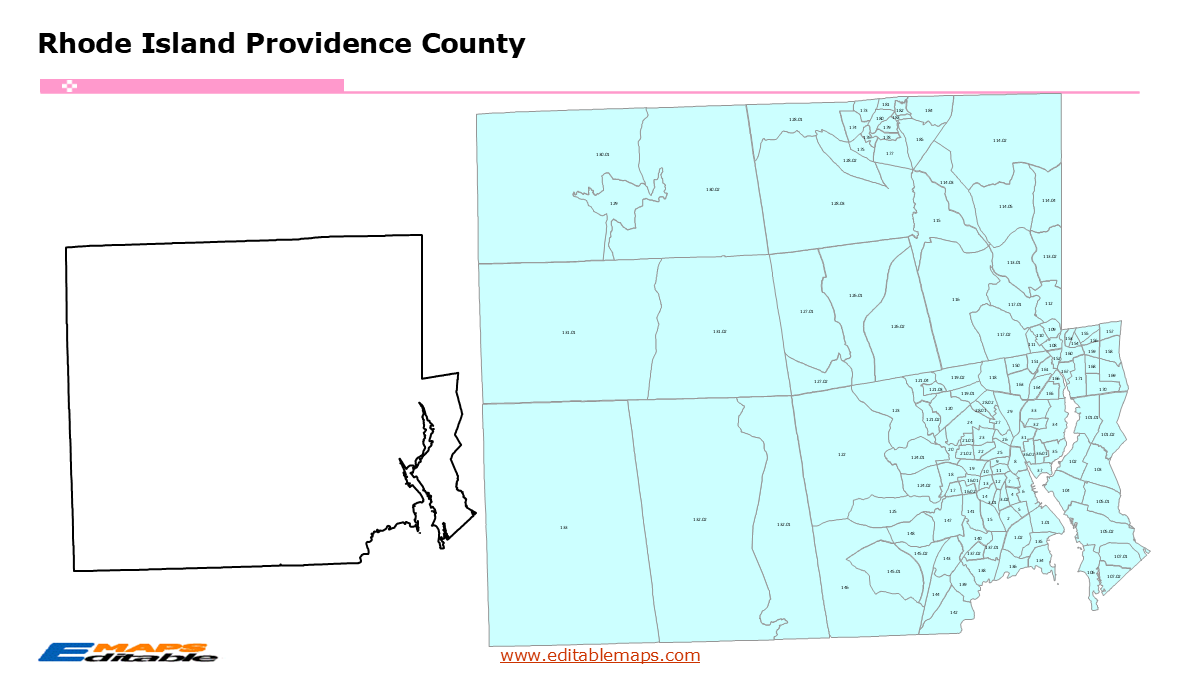
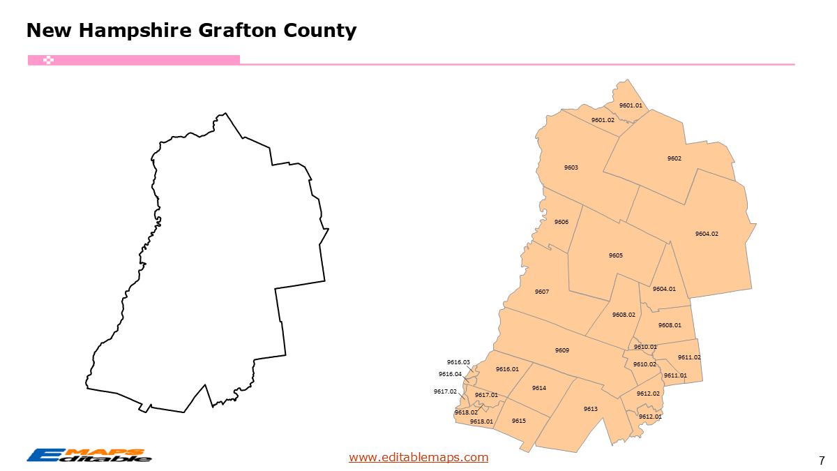
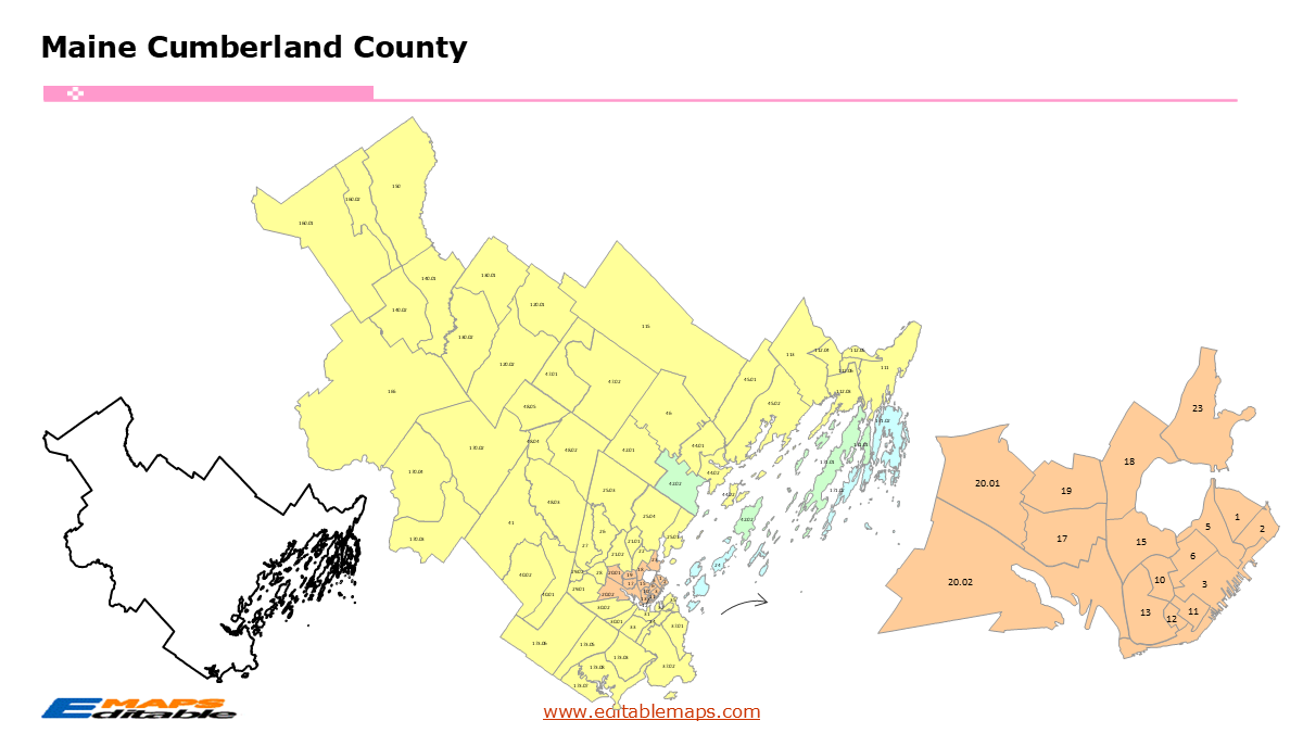
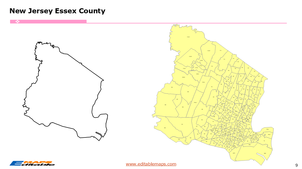
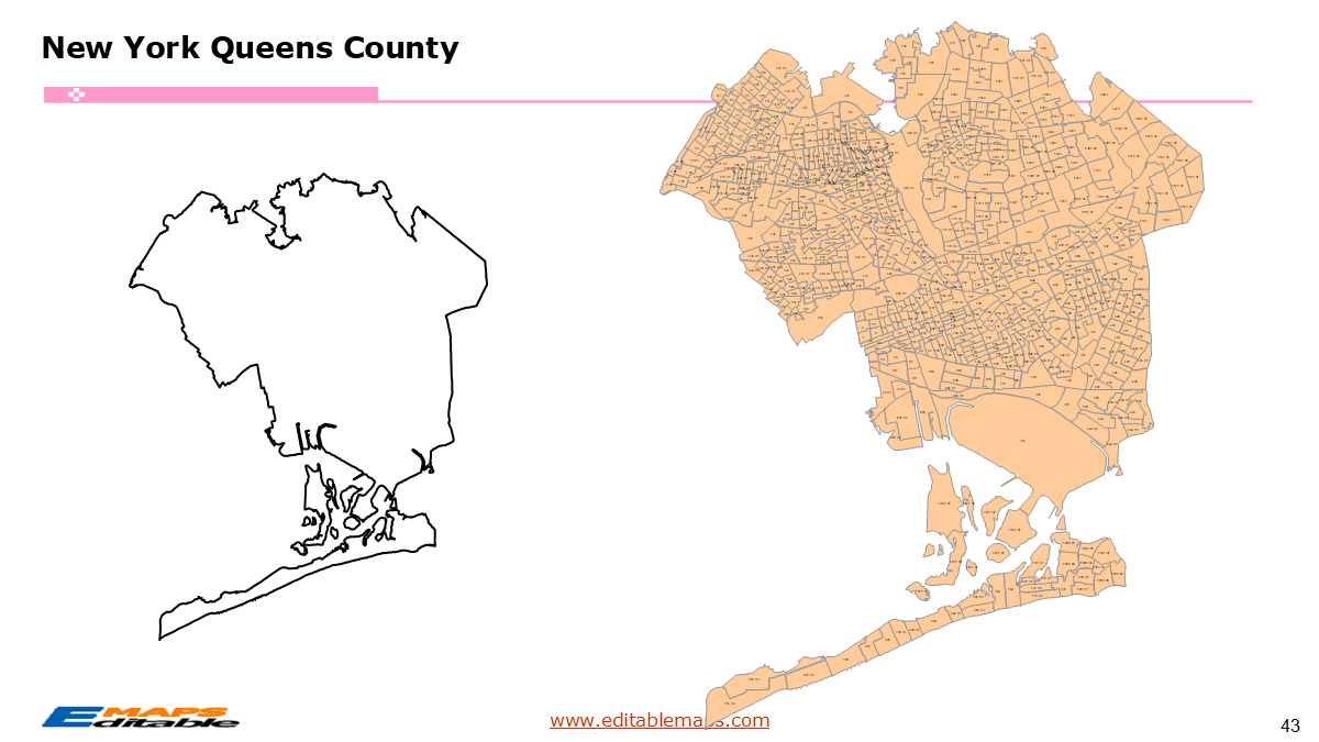
The New York census tract map by county templates in PowerPoint format includes 64 slides. Firstly, it is a blank US State map template. Secondly the New York map with 62 counties. Thirdly regarding the 5393 census tracts, the New York census tract map by county product has grouped them by 62 counties, as PowerPoint templates are labeled with Census Tracts’ codes. The layers are grouped into two categories, one by Census Tracts shapes and the other by Census Tracts’ names, which makes it easier to customize your slides.The U.S. state of New York is divided into 62 counties, then further divided into 5393 county Census Tracts. It is based on the latest 2020 Census Bureau TIGER/Line data.The 64 slides are listed below.US state map and New York Map of outline (1)New York Map with 62 Counties (1)New York census tract map by county, Each County with its Census Tracts and codes labeled (62)New York census tract map by CountyThe 62 counties and the number of their Census Tracts are as follows. Albany County (85), Allegany County (16), Bronx County (361), Broome County (57), Cattaraugus County (24), Cayuga County (24), Chautauqua County (36), Chemung County (25), Chenango County (16), Clinton County (22), Columbia County (21), Cortland County (13), Delaware County (18), Dutchess County (82), Erie County (260), Essex County (18), Franklin County (15), Fulton County (17), Genesee County (18), Greene County (18), Hamilton County (4), Herkimer County (20), Jefferson County (35), Kings County (804), Lewis County (9), Livingston County (18), Madison County (19), Monroe County (210), Montgomery County (16), Nassau County (281), New York County (310), Niagara County (65), Oneida County (75), Onondaga County (142), Ontario County (40), Orange County (92), Orleans County (13), Oswego County (44), Otsego County (22), Putnam County (24), Queens County (724), Rensselaer County (48), Richmond County (125), Rockland County (80), St. Lawrence County (30), Saratoga County (65), Schenectady County (45), Schoharie County (8), Schuyler County (5), Seneca County (11), Steuben County (31), Suffolk County (384), Sullivan County (31), Tioga County (11), Tompkins County (26), Ulster County (50), Warren County (23), Washington County (21), Wayne County (25), Westchester County (241), Wyoming County (12), and Yates County (8).New York, the Empire State, is a diverse powerhouse of the Northeastern United States. From the soaring skyscrapers of Manhattan and the sprawling boroughs of New York City to the rugged Adirondack Mountains and the rolling vineyards of the Finger Lakes, New York’s geography is as varied as its population. As a global hub for finance, culture, and innovation, mapping New York requires precision and high-resolution data that captures both its dense urban centers and its expansive rural landscapes.This bundle provides a comprehensive look at the 5393 census tracts that define the state. It includes critical boundaries for the five boroughs of NYC—the Bronx, Brooklyn, Manhattan, Queens, and Staten Island—alongside the industrial centers of Buffalo and Rochester and the historic Hudson Valley.New York census tract map introductionAbout this Product: New York Census Tract Master BundleManaging data for New York can be overwhelming due to its scale. This bundle simplifies the process by breaking down all 5393 census tracts into manageable, high-quality PowerPoint slides.“About this Product: New York Census Tract Map Bundle (The Empire State Edition)”Scale your analysis from the Atlantic coast to the Great Lakes with the New York Census Tract Map Bundle. This is the definitive toolkit for professionals who need to visualize data across New York’s 62 counties, providing neighborhood-level detail for the nation’s fourth-most populous state.Why this bundle is essential:Massive 62-County Coverage: Includes individual, highly detailed slides for every county—from the high-density blocks of Manhattan (New York County) to the vast rural reaches of St. Lawrence County.5393 Natively Editable Shapes: Every single census tract is a vector shape. You can click, fill, and border-adjust tracts in PowerPoint without ever needing complex GIS software.You can check other state census tract maps as followed.ConnecticutDelawareDistrict of ColumbiaMarylandMassachusettsNew HampshireNew JerseyRhode IslandVermontIf you want to get free US maps, please visit our affiliate’s website yourfreetemplates.com