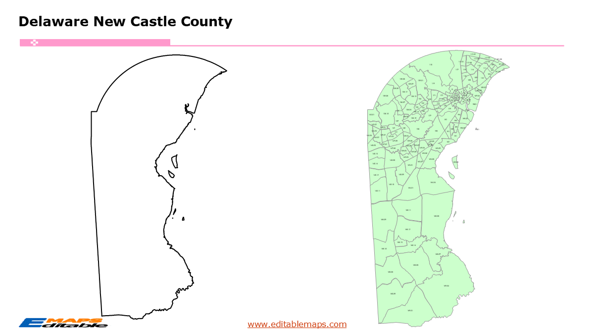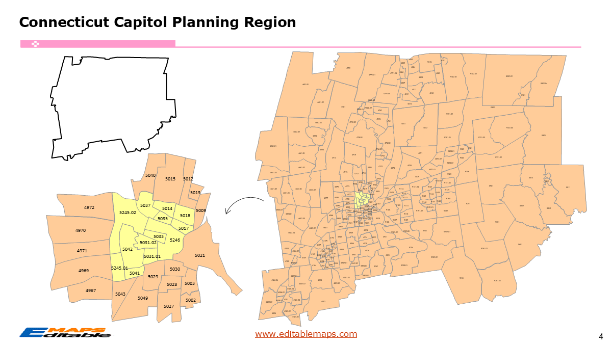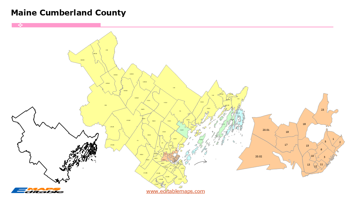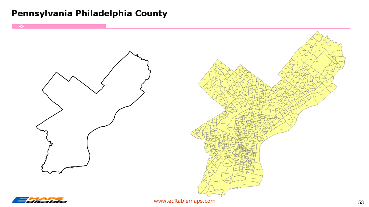
Alabama census tract map by county
$ 76.50
In Stock - Shipping time: In Stock 2 weeks (aprox.)
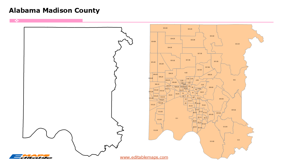
The Alabama census tract map by county templates in PowerPoint format include 69 slides. Firstly, it is a blank US State map template. Secondly the Alabama map with 67 counties. Thirdly regarding the 1435 census tracts, the Alabama census tract map by county product has group them by 67 counties, as PowerPoint templates are labeled with Census Tracts’ codes. The layers are grouped into two categories, one by Census Tracts shapes and the other by Census Tracts’ codes, which makes it easier to customize your slides.The U.S. state of Alabama is divided into 67 counties and equivalents, then further divided into 1435 county Census Tracts.The 69 slides are listed below.US state map and Alabama Map of outline (1)Alabama Map with 67 Counties (1)Alabama census tract map by county, Each County with its Census Tracts and codes labeled (67)The 67 counties and the number of their Census Tracts are as follows. Autauga (17), Baldwin (43), Barbour (9), Bibb (8), Blount (16), Bullock (4), Butler (9), Calhoun (38), Chambers (9), Cherokee (8), Chilton (12), Choctaw (4), Clarke (9), Clay (4), Cleburne (4), Coffee (16), Colbert (15), Conecuh (5), Coosa (3), Covington (14), Crenshaw (6), Cullman (22), Dale (14), Dallas (17), DeKalb (21), Elmore (20), Escambia (10), Etowah (33), Fayette (5), Franklin (11), Geneva (6), Greene (4), Hale (7), Henry (6), Houston (26), Jackson (16), Jefferson (189), Lamar (4), Lauderdale (26), Lawrence (11), Lee (48), Limestone (23), Lowndes (4), Macon (12), Madison (95), Marengo (8), Marion (11), Marshall (26), Mobile (134), Monroe (9), Montgomery (71), Morgan (31), Perry (4), Pickens (6), Pike (11), Randolph (6), Russell (18), St. Clair (24), Shelby (55), Sumter (5), Talladega (24), Tallapoosa (12), Tuscaloosa (59), Walker (20), Washington (5), Wilcox (5), and Winston (8).Alabama is a state in the Southeastern region of the US. It borders Tennessee to its north, the Chattahoochee River and Georgia to its east, and Mississippi to its west. To its south, the state meets Florida and the white-sand beaches of the Gulf of Mexico. Montgomery is the capital of this State.In a word, you can change the texts, colors, sizes, and add your charts. Most important of all, our maps can help to reduce your efforts and create good-looking maps. So, you can focus on your core competence and outsource the maps to our professionals.If you want to get free US maps, please visit our affiliate’s website yourfreetemplates.com