Massachusetts census tract map
$ 97.20
In Stock - Shipping time: In Stock 2 weeks (aprox.)
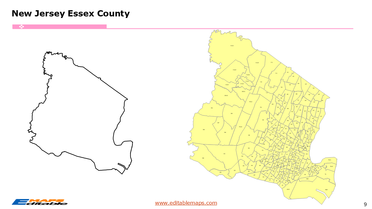
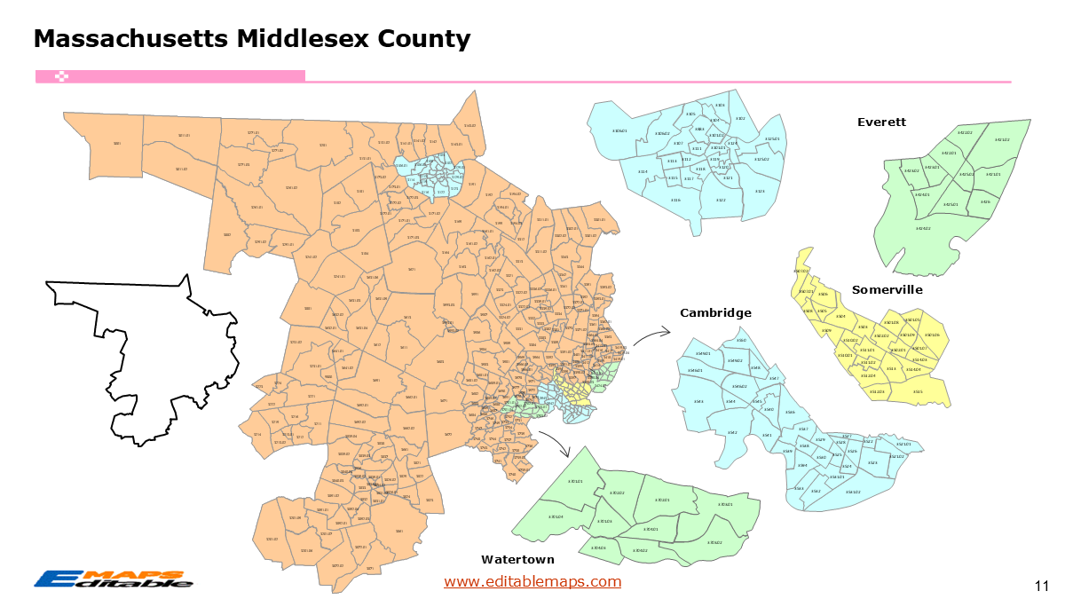
The Massachusetts census tract map by county templates in PowerPoint format includes 17 slides. Firstly, it is a blank US State map template. Secondly the Massachusetts map with 14 counties. Thirdly regarding the 1614 census tracts, the Massachusetts census tract map by county product has grouped them by 14 counties, as PowerPoint templates are labeled with Census Tracts’ codes. The layers are grouped into two categories, one by Census Tracts shapes and the other by Census Tracts’ names, which makes it easier to customize your slides.The U.S. state of Massachusetts is divided into 14 counties, then further divided into 1614 county Census Tracts. It is based on the latest 2020 Census Bureau TIGER/Line data.The 17 slides are listed below.US state map and Massachusetts Map of outline (1)Massachusetts Map with 14 Counties (1)Massachusetts census tract map by county, Each County with its Census Tracts and codes labeled (15) ,with two slides for Middlesex CountyThe 14 counties and the number of their Census Tracts are as follows. Barnstable County (57), Berkshire County (40), Bristol County (130), Dukes County (4), Essex County (173), Franklin County (19), Hampden County (104), Hampshire County (35), Middlesex County (357), Nantucket County (6), Norfolk County (154), Plymouth County (110), Suffolk County (234), and Worcester County (191).Massachusetts is a state in the New England region of the Northeastern US. It borders Vermont and New Hampshire to its north, New York to its west, and Connecticut and Rhode Island to its south. To its east, the state meets the Atlantic Ocean, featuring the famous hooks of Cape Cod and the islands of Martha’s Vineyard and Nantucket. Boston is the capital of this State.The 1,614 Census Tracts of Massachusetts represent the fundamental geographic building blocks used by the U.S. Census Bureau to analyze the Commonwealth’s population, economy, and social health. For the 2020 Census, the number of tracts in Massachusetts increased to 1,614, up from 1,478 in 2010, reflecting the state’s population growth and the need for more granular data.Key Changes in the 2020 TallyThe increase from 1,478 to 1,614 tracts was largely driven by the Greater Boston area’s “vertical” growth. As apartment complexes and high-rises replaced industrial sites in places like the Seaport District or Somerville, the Census Bureau had to “split” existing tracts to keep the population counts within the 8,000-person limit.About this Product: Massachusetts Census Tract Master BundleThis bundle is a “power tool” for the Northeast because Massachusetts has a high density of census tracts ($1,600 $) concentrated in a relatively small geographic area.“About this Product: Massachusetts Census Tract Map Bundle (The Bay State Edition)”Visualize the heart of New England with the most detailed Massachusetts Census Tract Map Bundle available for PowerPoint. From the tech hubs of Cambridge and Boston to the peaks of the Berkshires, this bundle provides neighborhood-level precision across all 14 counties.Why this bundle is essential:1,600 Individual Tract Shapes: Unlike standard county maps, this bundle includes every single census tract as a selectable, editable vector shape.City-to-County Organization: Includes dedicated slides for major hubs like Suffolk (Boston), Middlesex (Cambridge/Lowell), and Worcester, organized to help you navigate MA’s unique “City and Town” structure.Native PowerPoint Functionality: No GIS expertise required. Click to color-code tracts by median income, education level, or voter turnout directly in your presentation.2020 Census Accuracy: Fully updated to reflect the latest boundary shifts and tract splits in high-growth areas like Seaport and Somerville.Investment & Compliance Ready: Ideal for mapping Qualified Census Tracts (QCT) for housing developers or Opportunity Zones in Gateway Cities like New Bedford and Fall River.If you want to get free US maps, please visit our affiliate’s website yourfreetemplates.com