Columbia District census tract map
$ 31.50
In Stock - Shipping time: In Stock 2 weeks (aprox.)
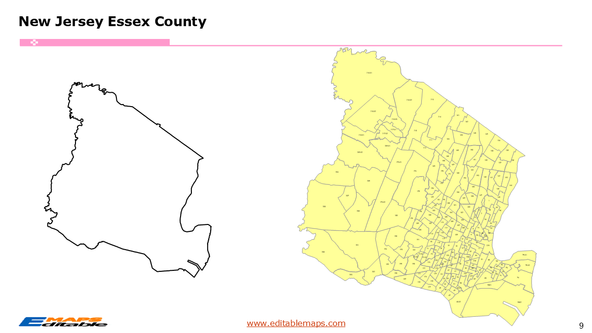
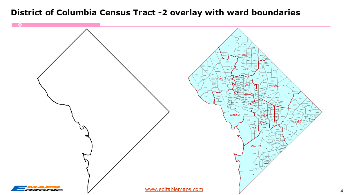
The Columbia District census tract map templates in PowerPoint format includes 4 slides. Firstly, it is a blank US State map template. Secondly the Washington DC map with 8 wards. Thirdly the Washington DC census tract map has 206 census tracts, as PowerPoint templates are labeled with Census Tracts’ names. The layers are grouped into two categories, one by Census Tracts shapes and the other by Census Tracts’ names, which makes it easier to customize your slides.The U.S. state of Washington DC is divided into 206 Census Tracts. It is based on the latest 2020 Census Bureau TIGER/Line data.The 4 slides are listed below.US state map and Washington DC Map of outline (1)Washington DC Map with 8 wards (1)Columbia District census tract map with names labeled (1)Washington DC census tract map with names labeled and 8 ward boundaries integration (1)The District of Columbia is a federal district in the Mid-Atlantic region of the US. It borders Maryland to its north, east, and west, and is separated from Virginia to its south and west by the Potomac River. As the seat of the federal government, Washington, D.C. serves as the central hub of this District.About this Product: DC Census Tract & Ward Master BundleSince D.C. is small but densely packed, our PowerPoint product is uniquely valuable because it allows users to toggle between Ward boundaries and Census Tracts, which are often confused by non-experts.“About this Product: District of Columbia Census Tract & Ward Bundle”Master the geography of the nation’s capital with this fully editable PowerPoint Map Bundle. This toolkit is specifically designed for policy analysts, non-profits, and real estate developers who need to visualize data across D.C.’s complex administrative landscape.Why this bundle is essential:Ward & Tract Integration: Features the boundaries of 8 Wards, with census tracts nested inside.100% Vector Shapes: Every census tract and ward boundary is a native PowerPoint shape.Institutional Accuracy: Built using Open Data DC and Census 2020 TIGER files, ensuring your presentations meet government and academic standards.If you want to get free US maps, please visit our affiliate’s website yourfreetemplates.com