New Jersey census tract map by county
$ 97.20
In Stock - Shipping time: In Stock 2 weeks (aprox.)
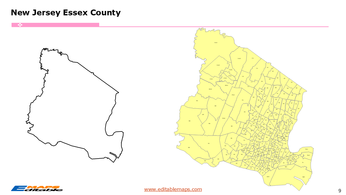
The New Jersey census tract map by county templates in PowerPoint format includes 23 slides. Firstly, it is a blank US State map template. Secondly the New Jersey map with 21 counties. Thirdly regarding the 2177 census tracts, the New Jersey census tract map by county product has grouped them by 21 counties, as PowerPoint templates are labeled with Census Tracts’ codes. The layers are grouped into two categories, one by Census Tracts shapes and the other by Census Tracts’ names, which makes it easier to customize your slides.The U.S. state of New Jersey is divided into 21 counties, then further divided into 2177 county Census Tracts. It is based on the latest 2020 Census Bureau TIGER/Line data.The 23 slides are listed below.US state map and New Jersey Map of outline (1)New Jersey Map with 21 Counties (1)New Jersey census tract map by county, Each County with its Census Tracts and codes labeled (21)The 21 counties and the number of their Census Tracts are as follows. Atlantic County (73), Bergen County (203), Burlington County (117), Camden County (129), Cape May County (32), Cumberland County (41), Essex County (211), Gloucester County (69), Hudson County (183), Hunterdon County (30), Mercer County (84), Middlesex County (192), Monmouth County (155), Morris County (110), Ocean County (145), Passaic County (120), Salem County (24), Somerset County (74), Sussex County (42), Union County (120), and Warren County (23).New Jersey is a central hub of the Mid-Atlantic region and holds the distinction of being the most densely populated state in the U.S. It is bordered by New York to the north and east, the Atlantic Ocean to the southeast, Pennsylvania to the west (across the Delaware River), and Delaware to the southwest. Trenton serves as the state capital, while Newark is the largest city. New Jersey is unique in that every one of its 21 counties is classified as “urban” by the U.S. Census Bureau.The 2177 New Jersey Census TractsThe transition to the 2020 Census saw New Jersey’s tract count rise to 2177 (up from 2,010 in 2010). This 8.5% increase in tracts reflects the state’s massive “vertical” growth and the redevelopment of former industrial zones into high-density residential hubs.North Jersey (Bergen, Hudson, Essex): These counties contain the state’s smallest and most numerous tracts. In Jersey City alone, dozens of new tracts were created to account for the population surge in high-rise luxury developments.Central Jersey (Middlesex, Mercer, Monmouth): A mix of suburban sprawl and academic hubs (like Princeton) that serve as a bridge between the NY and Philly metros.The Pine Barrens & South Jersey: While counties like Ocean and Atlantic are growing rapidly, the interior “Pine Barrens” tracts remain some of the largest geographically, representing preserved forest land with sparse residential pockets.About this Product: New Jersey 2177 Census Tract Master BundleThis bundle provides the most granular geographic data available for the nation’s most densely populated state. With 2177 tracts, this toolkit allows users to analyze New Jersey neighborhood by neighborhood, from the skyscrapers of the Gold Coast to the rural stretches of the Pine Barrens.“About this Product: New Jersey Census Tract Map Bundle (The Garden State Edition)”Unlock the power of hyper-local data with the New Jersey Census Tract Map Bundle. Featuring all 2177 census tracts updated for the 2020 Census, this editable PowerPoint suite is essential for market analysis, public policy, and real estate development across all 21 counties.Why this bundle is essential:2177 Fully Editable Vector Shapes: Every tract is a high-resolution, independent object. Re-color, group by county.Comprehensive County Coverage: Organized by New Jersey’s 21 counties, from the northern tip of Sussex to the southern beaches of Cape May.If you want to get free US maps, please visit our affiliate’s website yourfreetemplates.com