Maryland census tract map by county
$ 76.50
In Stock - Shipping time: In Stock 2 weeks (aprox.)
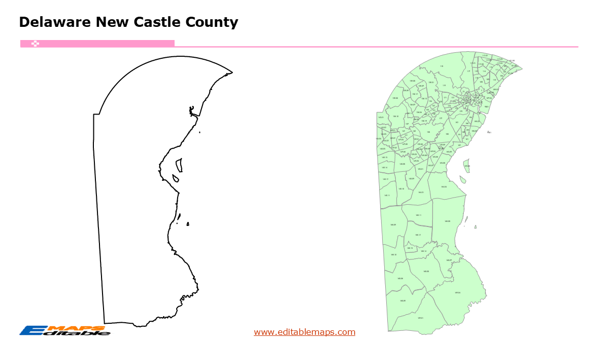
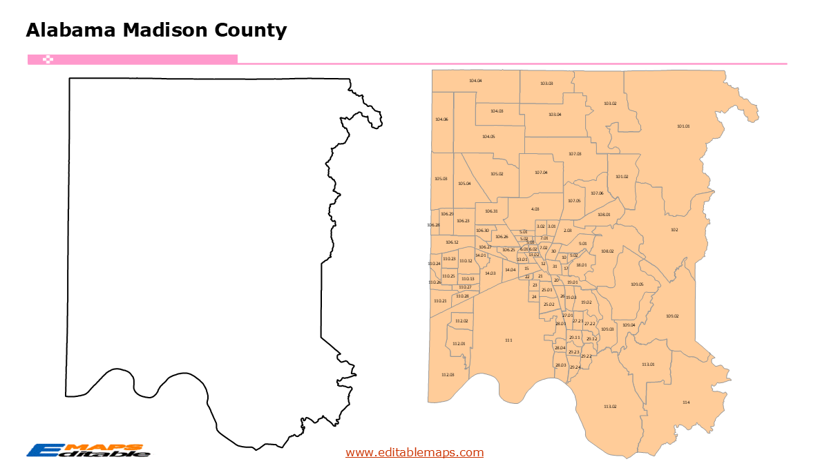
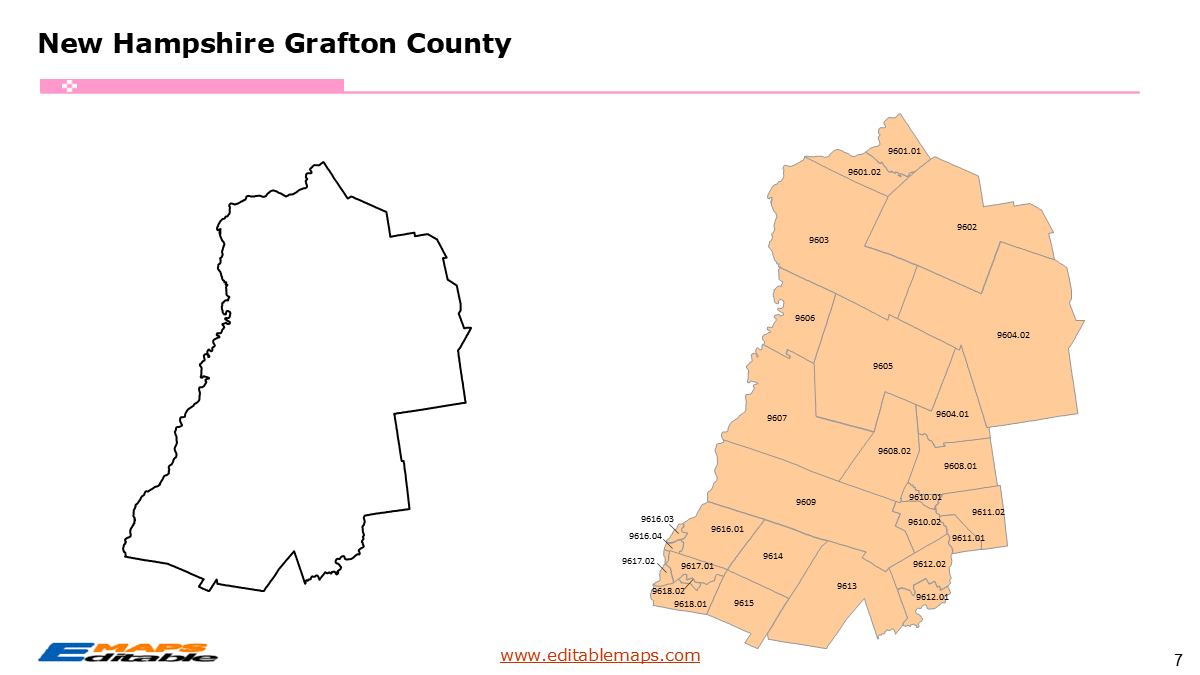
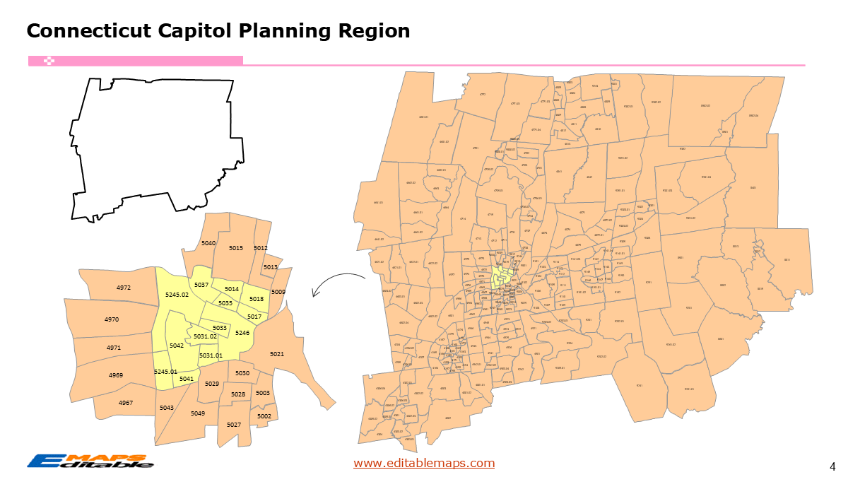
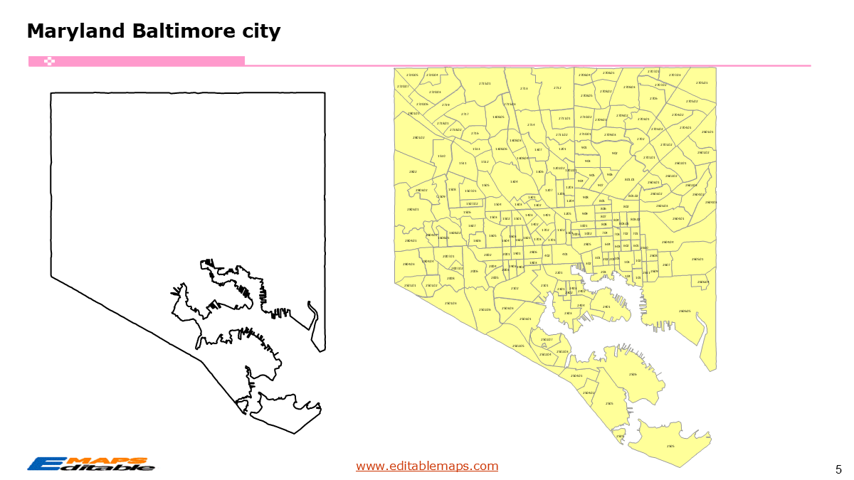
The Maryland census tract map by county templates in PowerPoint format includes 26 slides. Firstly, it is a blank US State map template. Secondly the Maryland map with 24 counties. Thirdly regarding the 1463 census tracts, the Maryland census tract map by county product has group them by 24 counties, as PowerPoint templates are labeled with Census Tracts’ codes. The layers are grouped into two categories, one by Census Tracts shapes and the other by Census Tracts’ codes, which makes it easier to customize your slides.The U.S. state of Maryland is divided into 23 counties plus the independent Baltimore City, then further divided into 1463 county Census Tracts.The 26 slides are listed below.US state map and Maryland Map of outline (1)Maryland Map with 24 Counties (1)Maryland census tract map by county, Each County with its Census Tracts and codes labeled (24)The 23 counties plus the independent Baltimore City, and the number of their Census Tracts are as follows. Allegany County (22), Anne Arundel County (129), Baltimore County (219), Calvert County (18), Caroline County (9), Carroll County (37), Cecil County (21), Charles County (34), Dorchester County (9), Frederick County (65), Garrett County (9), Harford County (59), Howard County (59), Kent County (5), Montgomery County (232), Prince George’s County (214), Queen Anne’s County (11), St. Mary’s County (22), Somerset County (6), Talbot County (10), Washington County (36), Wicomico County (21), Worcester County (17), and Baltimore city (199).Maryland is a state in the Mid-Atlantic region of the US. It borders Pennsylvania to its north, Delaware and the Atlantic Ocean to its east, and West Virginia to its west. To its south, the state meets Virginia and the District of Columbia across the Potomac River. Annapolis is the capital of this State.Take your data visualization to the neighborhood level with the most comprehensive Maryland Census Tract Map Bundle available for Microsoft PowerPoint. This professional toolkit provides a granular, street-level view of the entire state, meticulously organized into individual, high-precision slides for every county and Baltimore City.The Master Bundle OverviewTotal Coverage: Includes 24 individual map slides (23 counties plus the independent Baltimore City).1,400 Total Tracts: Every single census tract in the state is represented as a distinct, selectable vector shape.Ready-to-Present: Each county is pre-scaled and centered on its own slide, formatted for professional 16:9 widescreen presentations.Technical Specifications & Features100% Native Office Shapes: No specialized GIS software (like ArcGIS or QGIS) is required. If you can use PowerPoint, you can use these maps. Every tract can be individually colored, outlined, or resized.2020 Census Accuracy: Built using the latest US Census Bureau TIGER/Line data to ensure boundary precision and legal accuracy.Grouped Logic: Shapes are logically grouped by county, making it easy to copy-paste specific county into your existing corporate or academic decks.Name Labeled: All the names of census tracts are labeled by county and grouped together, making them easier to edit and zoom to specific census tract.Infinite Scalability: As vector graphics, these maps maintain perfect clarity at any size—from printed hand-outs to large-scale project wall maps.Built for High-Impact Use CasesThis bundle is the “gold standard” tool for professionals working across this State in:Commercial Real Estate: Identifying Opportunity Zones and Qualified Census Tracts (QCT) for tax-advantaged development.Financial Services: Mapping Community Reinvestment Act (CRA) service areas and lending patterns.Public Health & Policy: Visualizing health outcomes, environmental justice indicators, and social equity data.Market Analysis: Defining sales territories or site selection criteria based on hyper-local demographic shifts.If you want to get free US maps, please visit our affiliate’s website yourfreetemplates.com